


A detailed top-down maste
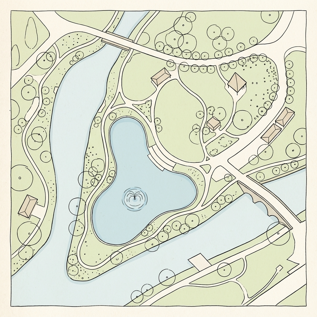
A detailed top-down master plan of a large urban park, hand-drawn in precise technical illustration style with clean black ink lines and subtle pastel color fills. On this plan, draw a primary recommended walking route as a bold dashed red line with small direction arrows. The route begins at the Main Entrance (south), proceeds north to circle around the Central Lake clockwise, then diverts west through the Rose Garden, continues north through the Pine Forest, loops around the Children's Playground, and concludes at the Lakeside Pavilion. Mark 5 key points along the route with numbered blue circles (1 through 5). In the bottom-right corner, add a neat rectangular legend box titled "图例" containing: 1) Red dashed line: "推荐游览路线", 2) Blue circle with number: "观景点", 3) Green tree icon: "密林区", 4) "P" in square: "停车场". Use clean sans-serif font for labels. Flat 2D view, architectural diagram, no perspective, no shadows, white background, high detail --style raw --ar 16:9 --v 6.0


描述你想生成的图片信息,如:画面里有什么风格/元素/色彩
Shift+回车 = 换行
AI可能会犯错误或不完全遵循,请谨慎使用。
同款 0
评论 0